Nov. 08, 2017 | Gerald Vander Pyl
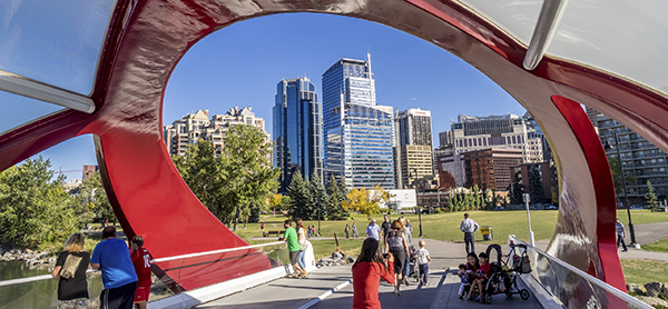
The flow of history
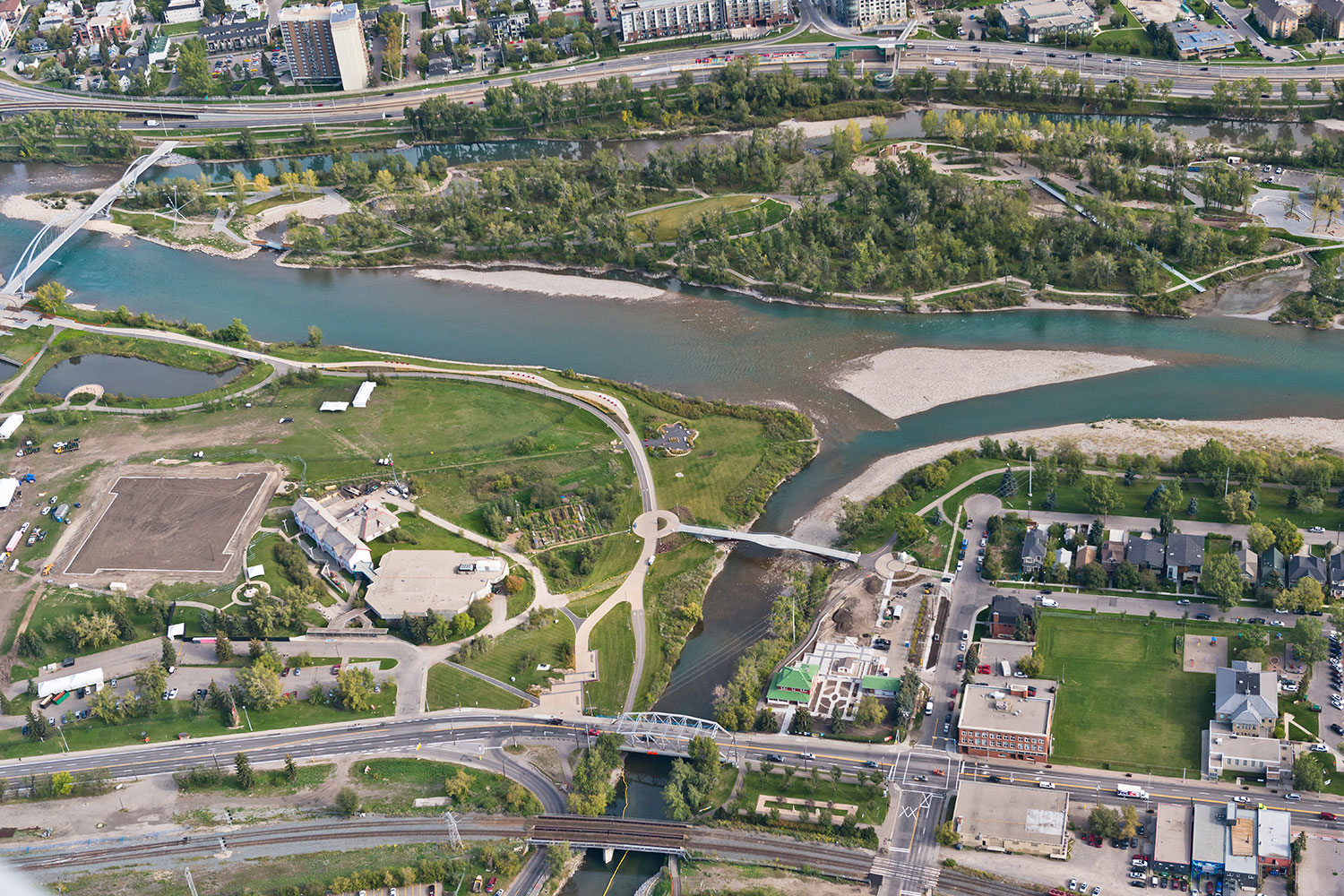
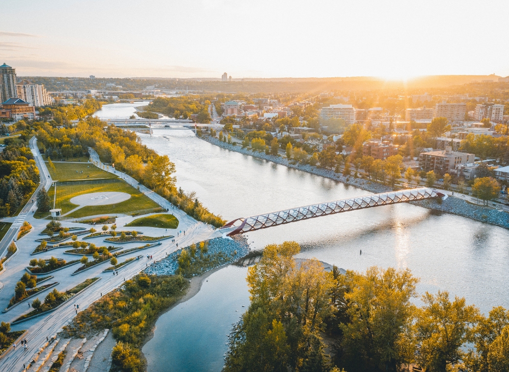
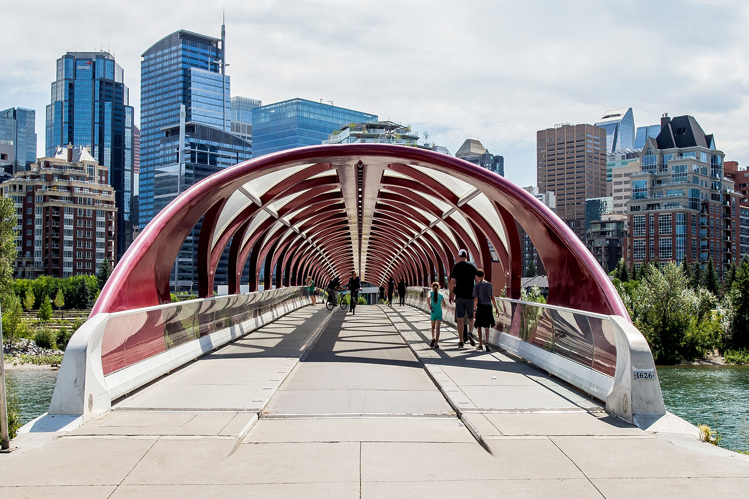
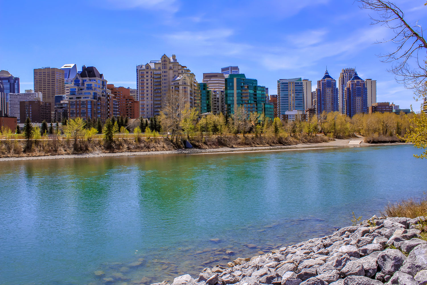
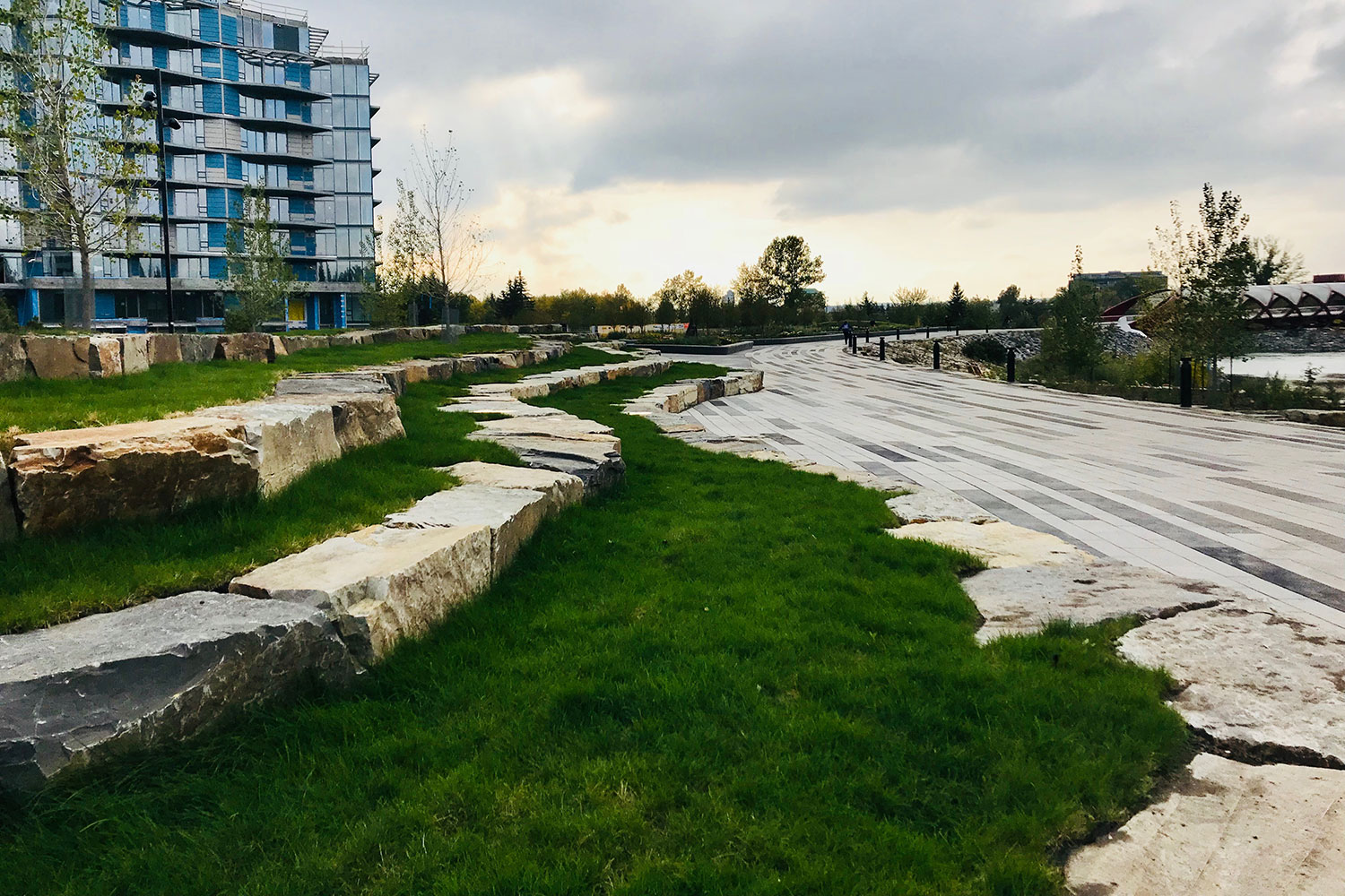
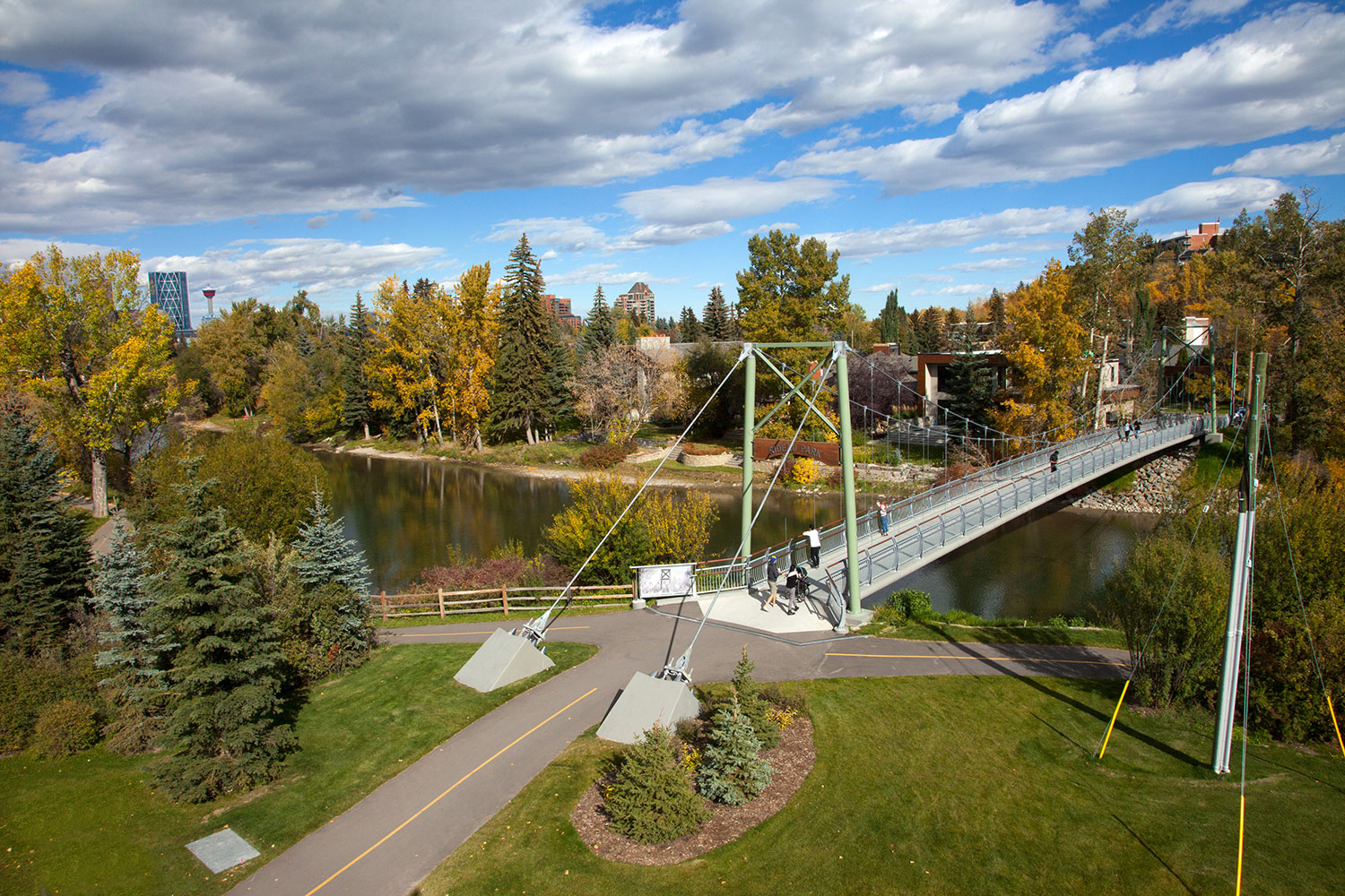
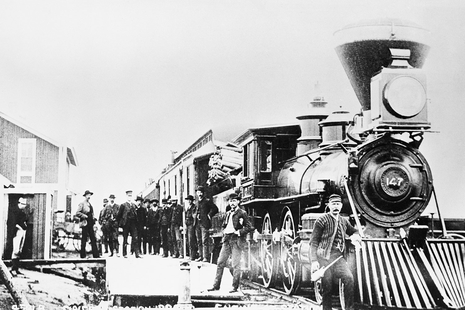
Calgary's rivers have shaped the city's development since its inceptionIn 1875, members of the North West Mounted Police built a fort at the confluence of the Bow and Elbow Rivers.
Fort Calgary quickly attracted early settlers to the area, and a thriving little community started to grow – one that never strayed far from the rivers that would shape its development.
Harry Sanders – a local historian, popular speaker and author of five books on Calgary's history – says rivers were a traditional gathering place for Canada's indigenous people, providing an obvious meeting point, a source of water and a place where wildlife could be found.
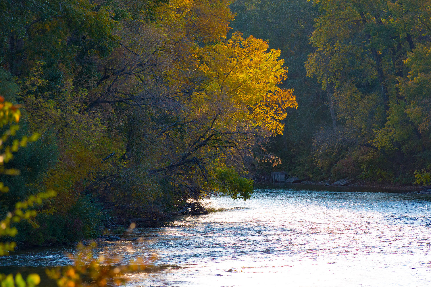
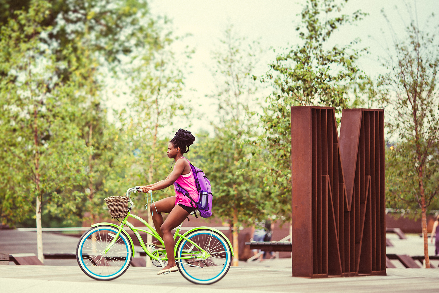
Similarly, Sanders says the Bow and Elbow were used by early Calgarians for transportation, firefighting, waste elimination, industry and even some rustic recreation.
He says before there were swimming pools, Calgarians would often "go down to a swimming hole at the river."
Reports of drownings in the river were constantly in the local newspapers, and his own family even had a near miss.
"My mom's younger brother wandered off and was found in the river, and it caused my grandparents to move from the East Village to Victoria Park, so my uncle wouldn't wander over to the river," he said.
Floods were also a destructive reality during the city's early development.
Sanders says in 1915, a new Centre Street Bridge was under construction when a flood swept away half of the existing bridge.
"One of the city commissioners and the city engineer were on the bridge with a third man, who drowned.
One of the city employees was thrown into the river and had to be rescued, the other was left hanging on to one of the timbers," he said.
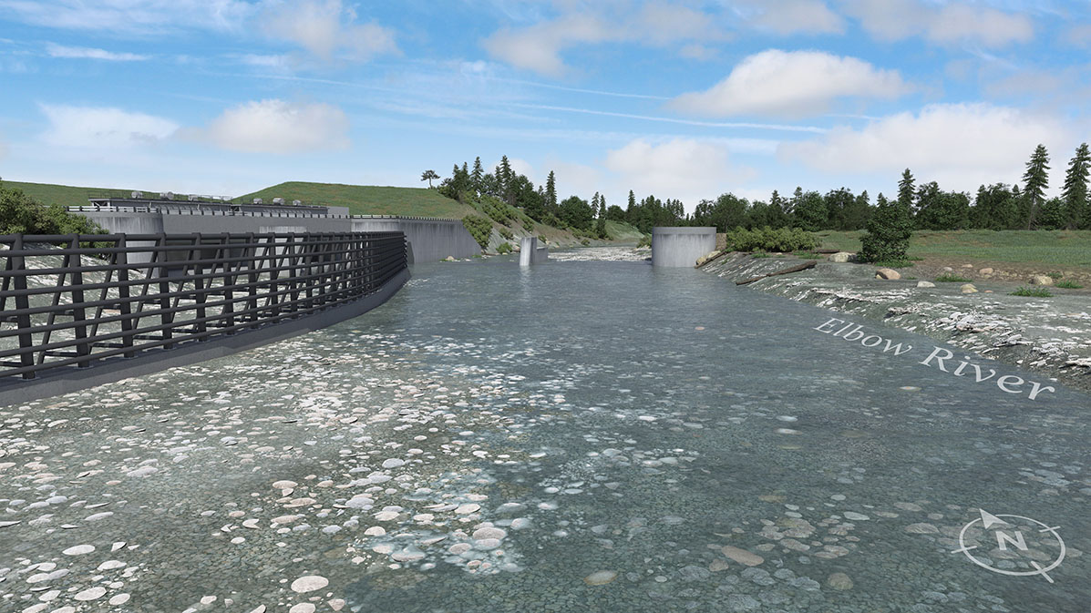
However, things improved along the Elbow River after the completion of the Glenmore Dam in 1932, he added.
"In the 1960s, there still was this notion that there's no value to the riverbank for recreation or beauty – it's just for industrial and functional use." - Harry Sanders, Calgary historian
Within a month of the dam's completion, a flood hit: "the new reservoir went from empty to full in one go, and they managed to prevent what would have been widespread flood damage in Calgary," said Sanders.
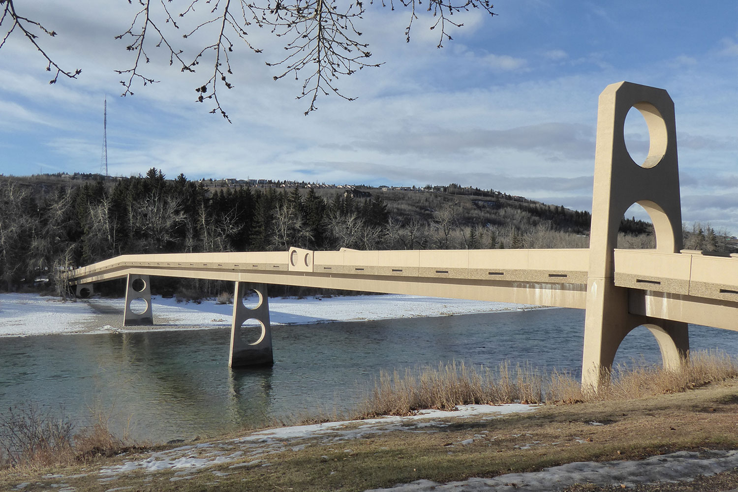
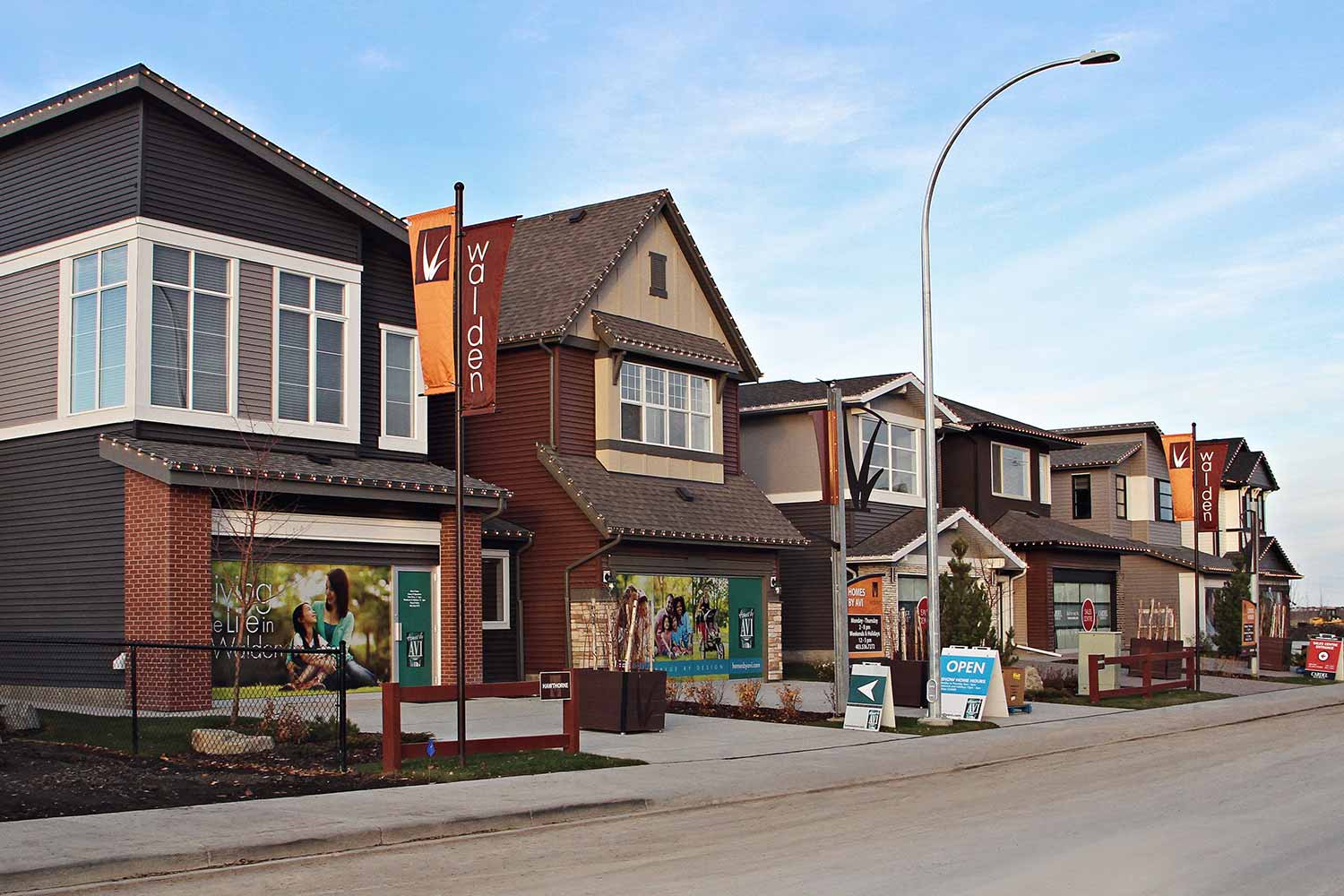
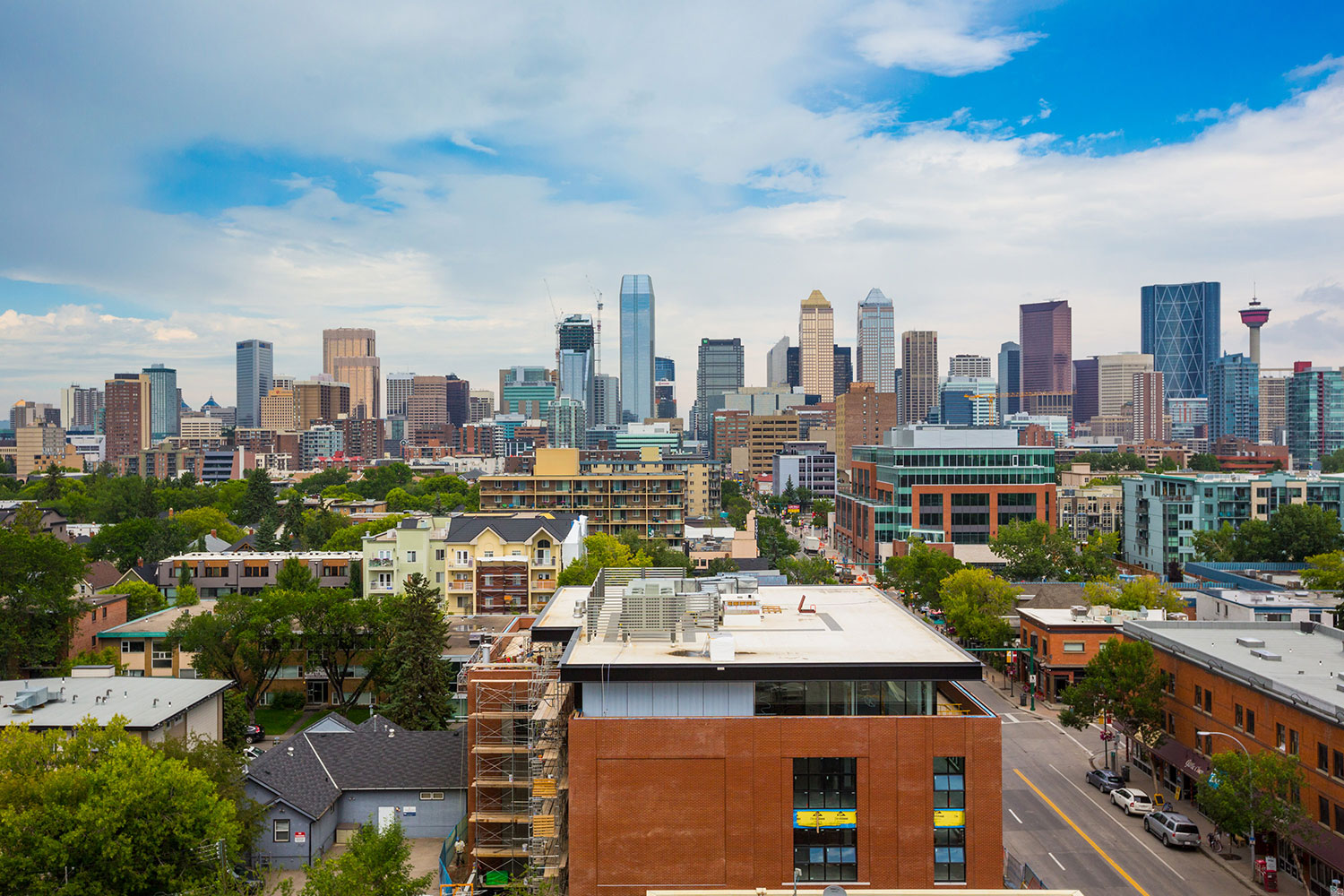
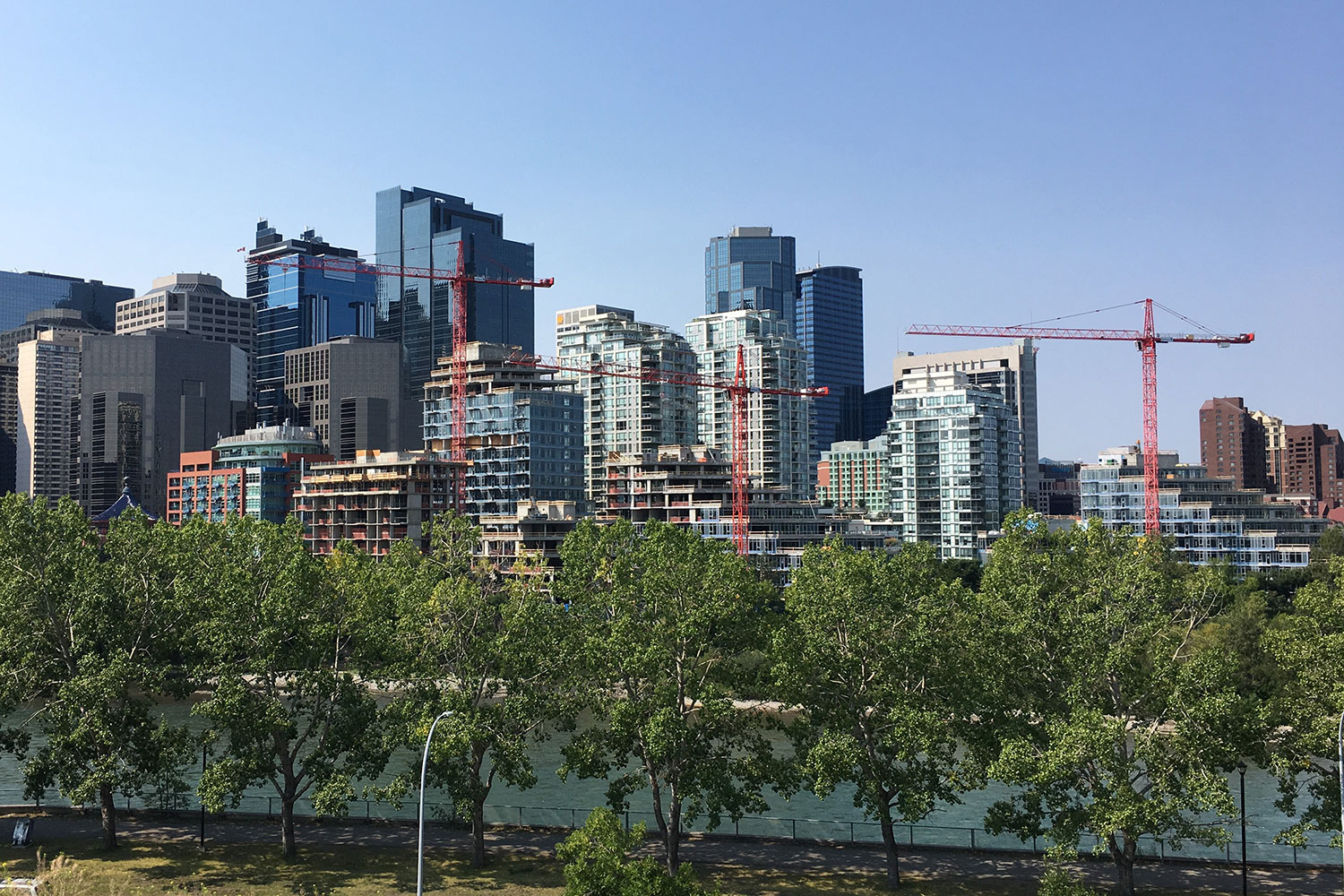
Calgary's rivers, and the need to bridge them, also played a role in the development of new residential areas.
"The Bow River was the northern boundary of Calgary from 1884 until 1907, so anything across the river was outside of town," said Sanders.
The original Langevin Bridge, since replaced, was built in 1888 as part of the transportation link to Edmonton Trail.
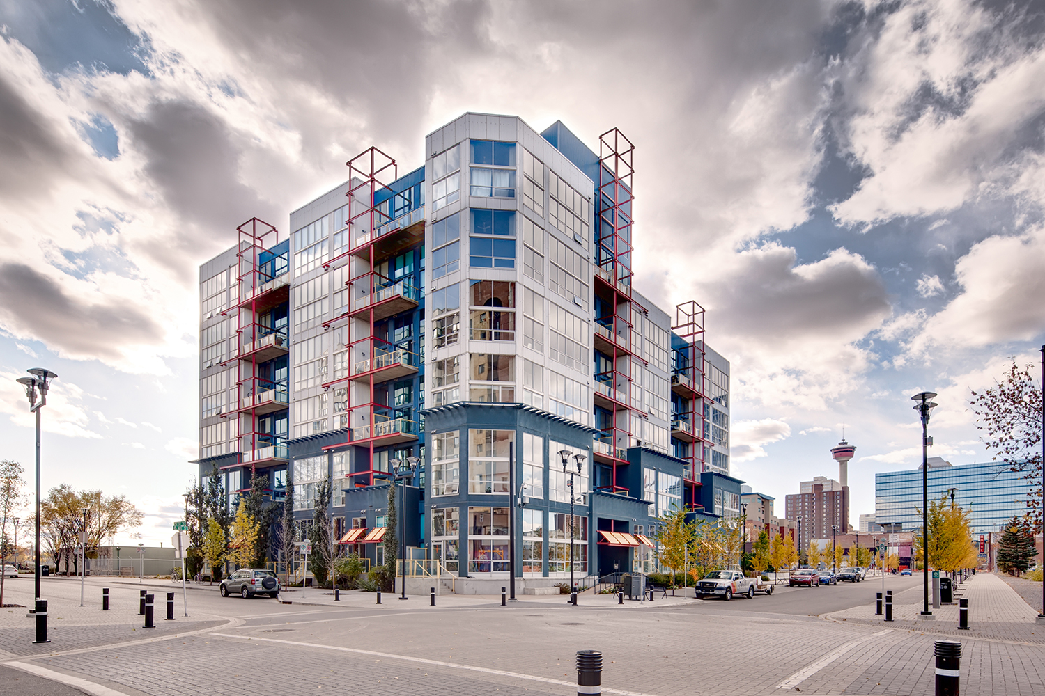
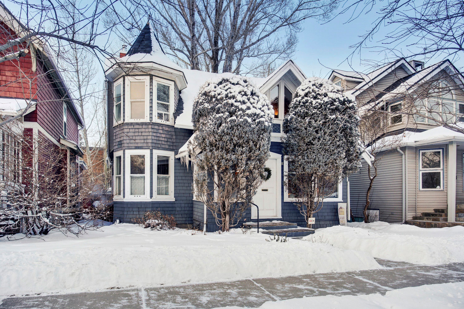
Across the bridge, the communities of Bridgeland and Riverside sprang up as a place where unserviced lots could be bought for cheap by recent immigrants.
"You could live outside Calgary and not pay municipal taxes, but work in Calgary," said Sanders.
He says construction of the Bow Marsh Bridge led to a new community called Hillhurst, which was promoted as an Anglo-Saxon neighbourhood. "That's why you have streets with names like Kensington Road and Gladstone Road."
Even the first Centre Street Bridge was built by developers, led by A.J. McArthur, to enable land sales in the new Crescent Heights.
"But he built a crappy bridge, and it wasn't aligned with the streets properly," said Sanders. "They just bought land at the north end and at the south end and built the shortest possible bridge.
"But a bridge was a practical requirement to make an expansion of the city and a new subdivision possible."
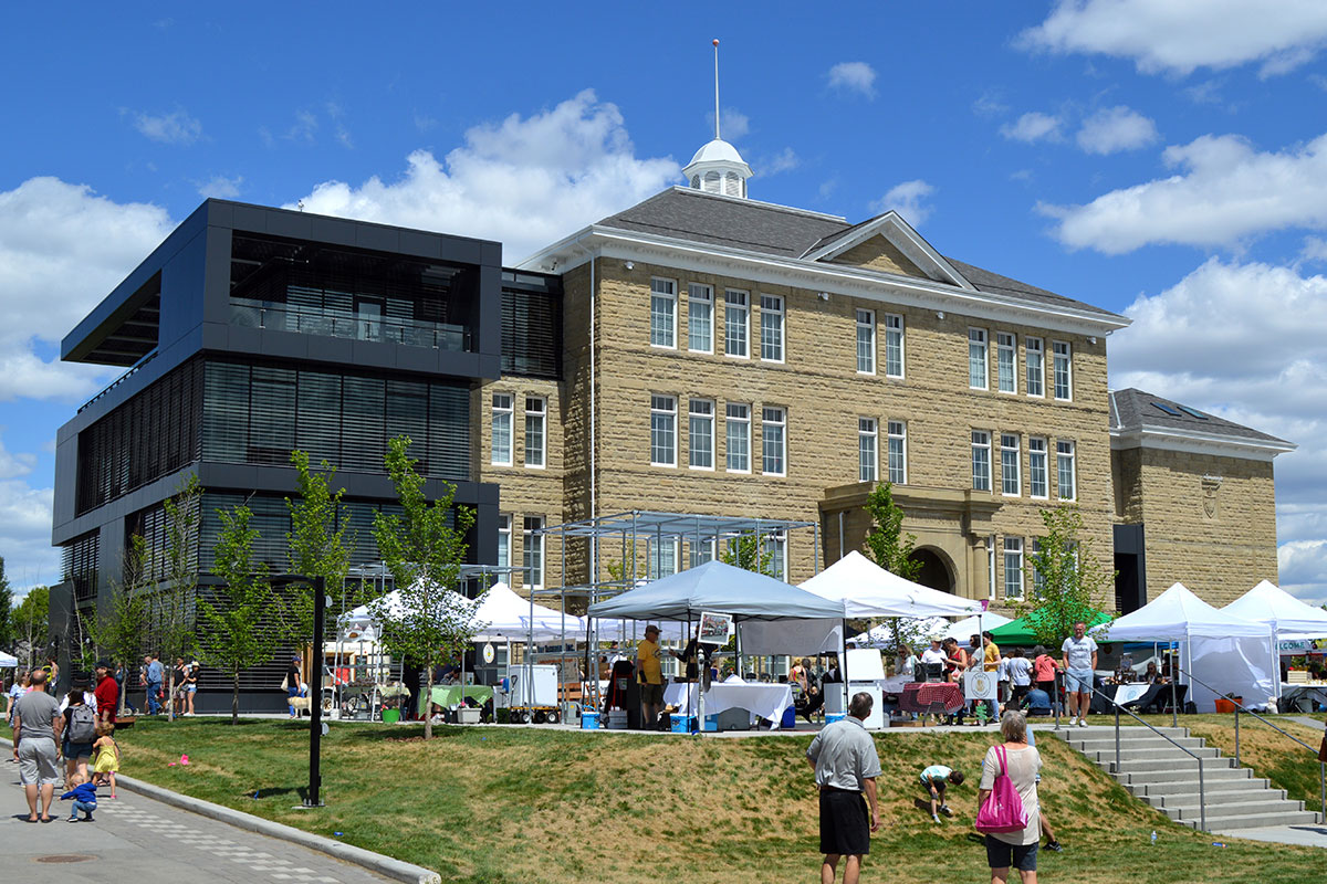
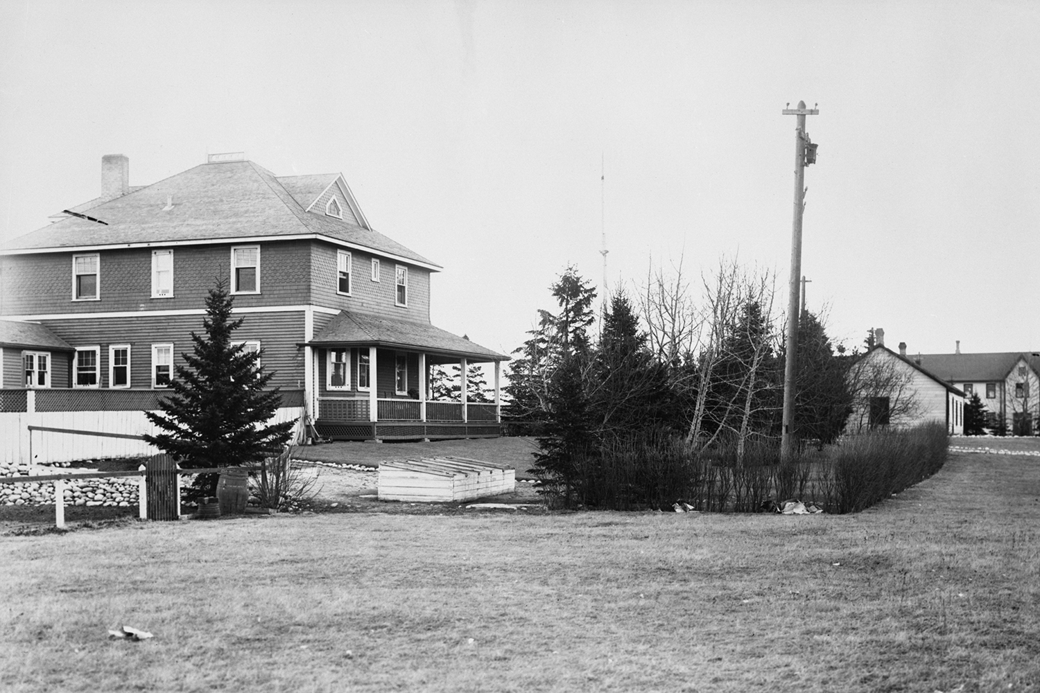
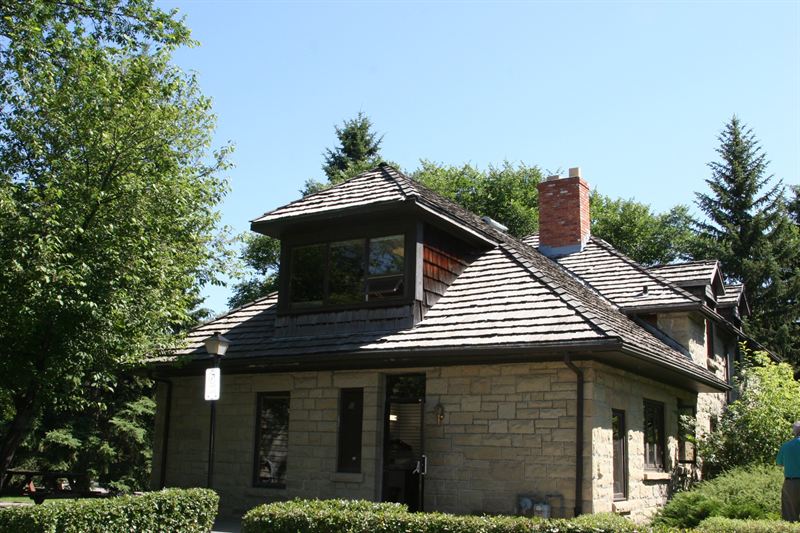
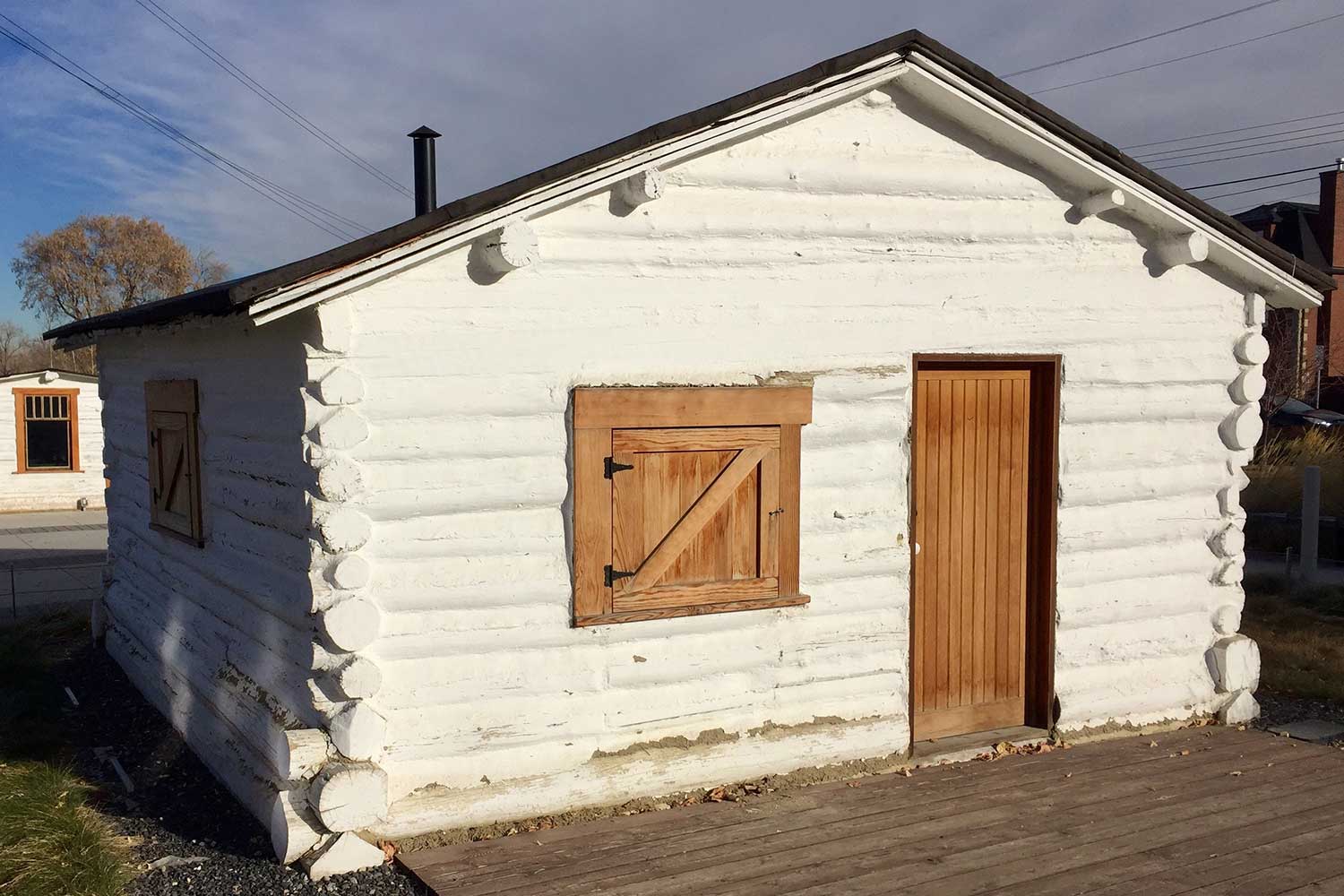
While rivers are now valued for their environmental importance, in early Calgary, industry crowded the river banks, and Fort Calgary itself was demolished in 1914 and replaced by warehouses and a railway yard, says Sanders.
He adds there was even a proposal in the 1960s to move the existing CP Rail right-of-way to the riverside.
"The south bank of the Bow River would have been obliterated and replaced by the relocated CPR mainline and a freeway," said Sanders.
"In the 1960s, there still was this notion that there's no value to the riverbank for recreation or beauty – it's just for industrial and functional use."
He says the proposal didn't go ahead, but it prompted alderman John Ayer to push for preservation of the original site of Fort Calgary.
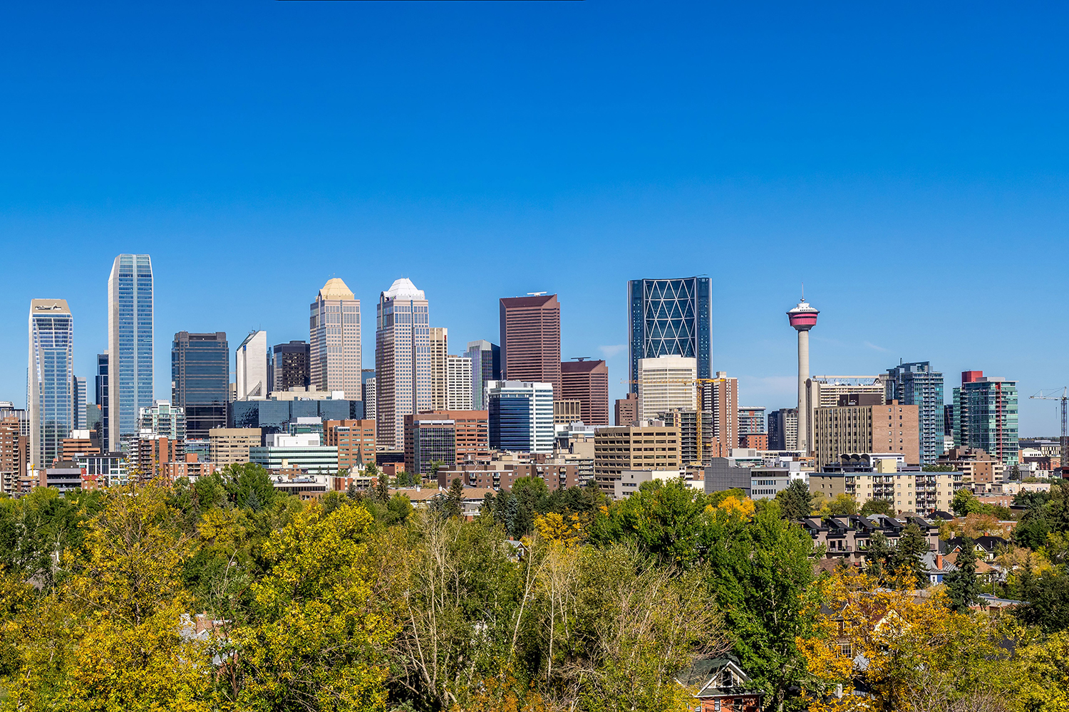
The land was eventually bought by the City in the 1970s, and a new Fort Calgary was soon erected alongside its two founding rivers.
Fort Calgary is currently planning an expansion called Making History that will add new exhibits and programs to the facility.
Tagged: Bow River | Bridgeland | Centre Street Bridge | CPR | Crescent Heights | East Village | Elbow River | Feature | Fort Calgary | Glenmore Dam | Harry Sanders | hillhurst | history | Kensington | North West Mounted Police | Victoria Park


Related Articles
